Known as “the Green Wedge Shire”, Nillumbik is located in Melbourne’s north-east. The Shire is approximately 25km from the Central Business District.
Nillumbik’s green wedge covers over 90 per cent of the total area of the Shire and includes many state and national parks.
Residents enjoy easy access to Melbourne, its services, job opportunities and facilities; along with access to an abundance of open space, vibrant communities and unique environmental landscapes.
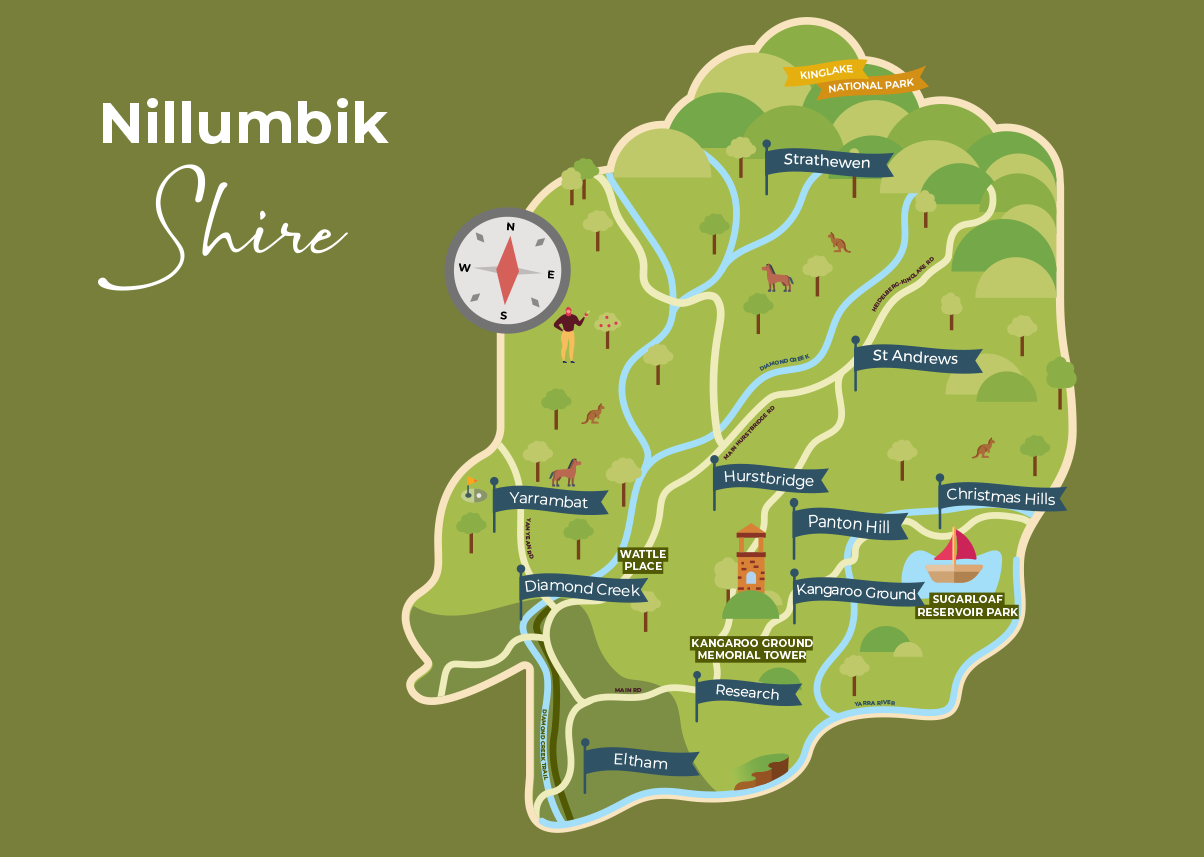
Nillumbik’s boundaries are:
the Kinglake National Park in the north
the Yarra escarpment in the east
the Yarra River in the south, and
the Plenty River and Yan Yean Road in the west.
Note that the map above is an artistic representation of the Shire's boundaries. For a detailed map, please visit VICNAMES Register of Geographic Names, search for "Nillumbik" and select the LGA option.
Nillumbik by numbers
431.94 square kilometres land area
65,094 total population
28.0% have a university qualification (Bachelor or higher)
23,627 rateable properties
71.1% travel to work by car (either as driver or passenger)
Share This Profile:
Contact Information
Location
Civic Drive, Greensborough, Victoria
Show Contact Information
Map Location
Open Positions (0)
No Data Found!
Join Council Direct
Sign up or log in with your Google account to keep browsing.